 Total Quality Home Builders 2022
What is a land survey? Land surveying is the discipline of establishing boundaries, corners, lines, and monuments of land utilizing official documents, historical evidence, and specifications. The final outcome is an official drawing that documents precisely where the boundaries of a property are located. The property survey will also include the dimensions and location of any existing buildings or site improvements on the land.
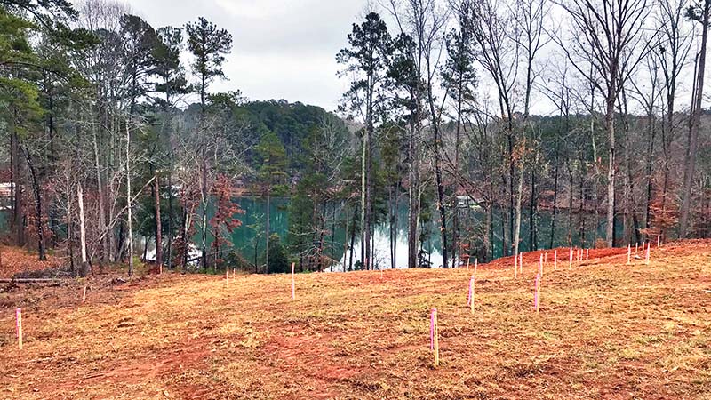
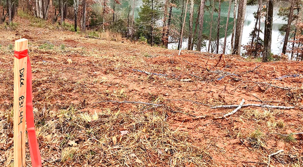
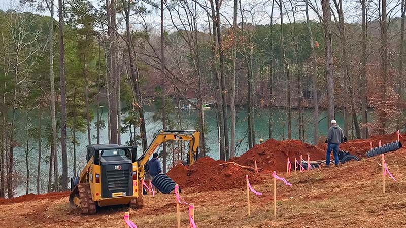
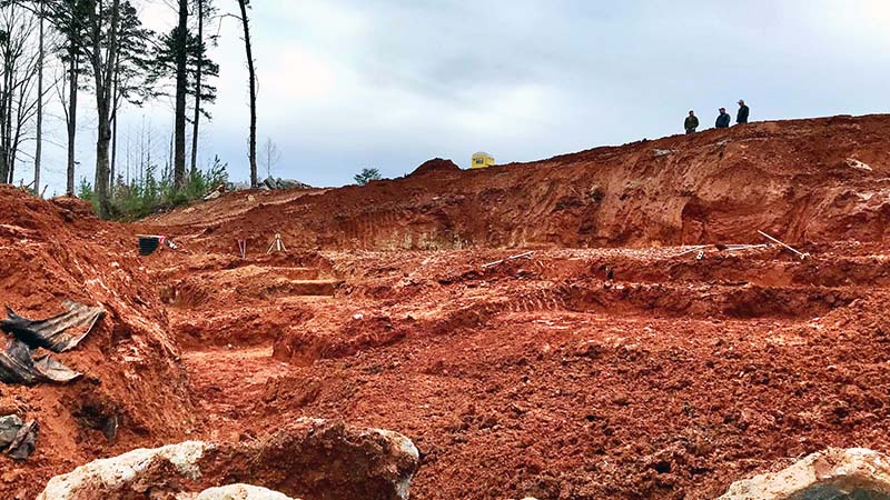
Prior to building on any property, a current land survey is required by the South Carolina Department of Health and Environmental Control (DHEC). The survey is necessary for the septic system and for the county building permit, and the property corners are marked and setbacks identified. Property around Lake Keowee is rarely flat land, so we typically recommend a topographical survey as well, depending on the grade of the site. A topographical survey will aid in estimating excavation costs, providing you with a more accurate overall cost when working on your Good Faith Estimate.
When do you need a land survey?
When building on raw land, referring to the legal description of the property isn’t sufficient to determine your property’s boundary lines. We will hire a professional land surveyor who will help us meet certain requirements for building a custom home. Outdated legal descriptions might reference monuments or landmarks that no longer exist on the property, requiring a land surveyor to take new measurements to provide accurate boundary lines. The surveyor will place any new land survey monuments as reference points for corners and boundaries when applicable.
Typical reasons for a land survey
Establishing legal property lines. Legal boundaries of possession are critical pieces of information to know before designing and building a home, placing a fence around the property, or establishing the location of your driveway.
Settling boundary line disputes, should they arise. Unfortunately, disagreements sometimes arise between property owners regarding legal property boundary lines. These issues can include the responsibility of removing a dead tree, when a neighbor complains of property encroachment, or why a structure needs to be removed when a utility company needs to dig in a specific area. These disputes can only be resolved through a professional land survey.
Locating easements, rights-of-way, and abandoned roads. A land survey will document all of the conditions imposed by law that are reflected in your property’s title report and other agreements. For example, if your property blocks your neighbor’s access to the main road, there may be an existing agreement, known as an “easement”, that allows your neighbor the right to walk across your property to the street. If a legal agreement exists, this information will be public record.
Building a home or other structure on the property. New home construction should never start without first obtaining a land survey of the property. Legal requirements in most areas dictate that a property has a set distance between certain elements, such as the home and the property line. You may also find that part of your property is reserved for the use of neighborhood associations or utilities. This means that even though you must care for that portion of the property, you cannot build a permanent structure in this section.
Updating an old or outdated property survey. Land surveys don’t typically have an expiration date, but anytime changes are made on your property, the existing land survey becomes inaccurate. When building a new home on unimproved property, a reputable builder will require a recent, up-to-date land survey. Additions to the property after a survey, from a new fence to an added deck, can render your old survey obsolete. A good rule of thumb is to have a surveyor mark your property before making improvements to the land. The amount of time that a land surveyor will guarantee their documentation of your property varies from state to state; however, the surveyor will typically be liable for the accuracy of a survey for five to ten years.
Locating utilities. Water, electricity, gas, drains, cables, manhole covers, and poles are just some of the utility details that are included in a land survey. Poles and above-ground wires are obvious, but a surveyor can also report on the existence and locations of underground utilities, as well. This information is typically provided to the surveyor by the utility companies and municipalities. Locating existing utilities is important for a couple of reasons. One, a utility company may have the right to use a small section of your land for utility maintenance and may also dictate the height of trees surrounding utility poles. Two, being aware of the exact location of underground utilities is crucial prior to excavation or construction.
Meeting financing requirements and obtaining title insurance. Depending on the type of financing you secure, your mortgage company, or where your property is located, a land survey may be required for financing. Once your builder engages with a land surveyor and obtains the final survey, you and your builder will know exactly what land you’re responsible for as the owner of the property and where you can build, while allowing you and your lender or title insurance company to set the most accurate terms of your agreements.
Topographical survey
What is a topographical survey, and what are the objectives of this type of survey? A topographical survey collects information about the natural and man-made features of your property, as well as the terrain. Permanent features of the land, such as existing buildings, fences, trees, rock formations, and bodies of water will accurately define the area and boundaries. Land contours and spot levels show the elevation of the terrain. As we develop the master site plan, Total Quality Home Builders will request that the surveyor place the proposed footprint of the home’s floor plan over the topographical survey. This will allow us to determine the ideal placement of your home to maximize lake views and mountain vistas and confirm the best locations for the septic tank, driveway, landscaping, and other elements of the site plan.
Next week in Part 5: Architectural Design & Floor Plan, we’ll discuss Total Quality Home Builder’s process to establish your new home’s design and floor plan so that it reflects your vision and meets your allocated investment.


 2022
2022